


autour de la Couvertoirade

Lecoester
User
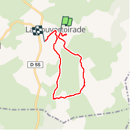

Length
6 km

Max alt
828 m

Uphill gradient
120 m
Km-Effort
7.6 km

Min alt
767 m

Downhill gradient
126 m
Boucle
No
Creation date :
2019-04-29 12:32:26.573
Updated on :
2019-04-29 14:34:07.375
1h51
Difficulty : Easy

FREE GPS app for hiking
 SityTrail
IGN / Geographical institutes
SityTrail Plus
The world is yours!
About
Trail Walking of 6 km to be discovered at Occitania, Aveyron, La Couvertoirade. This trail is proposed by Lecoester.
Description
Petite randonnée facile et familiale. Prévoir quand même de bonnes chaussures hautes, le chemin est pierreux
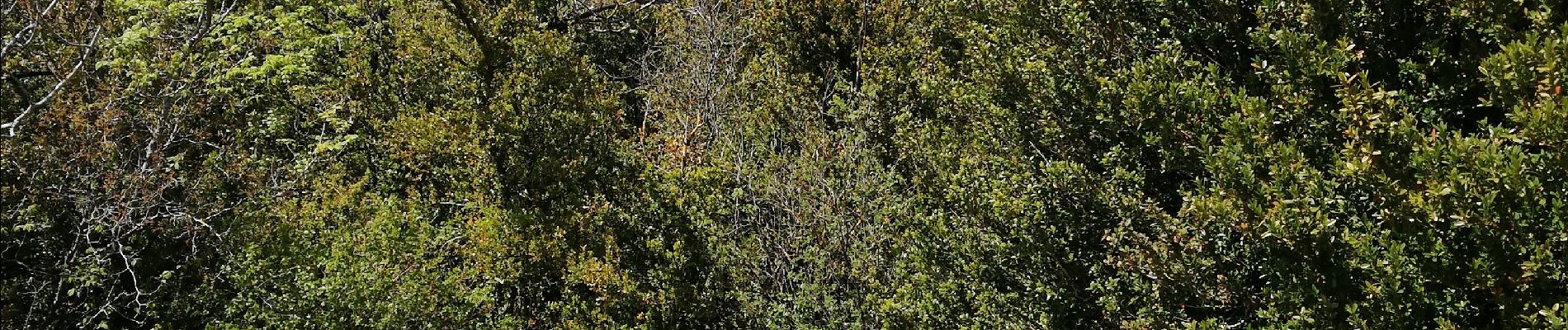
Photos


Positioning
Country:
France
Region :
Occitania
Department/Province :
Aveyron
Municipality :
La Couvertoirade
Location:
Unknown
Start:(Dec)
Start:(UTM)
525535 ; 4862209 (31T) N.
Comments
absolument magique, surtout en sens antihoraire à notre avis.